As Mum loves to travel, we decided to treat her to a 4 day tour around the NSW Alpine Region, followed by a drive through to the coast, as a gift for her 70th birthday. We have done it several times on our motorcycle and love it, so it was time to share it with my parents.
Day 1: Map (446 km travelled)
Leaving Sydney, we made tracks down the freeway to Goulburn, where we stopped for coffee then a visit to the War Memorial, overlooking Goulburn.

Even the car park has a great view.

The memorial holds our national flag proudly.


A plaque above the doorway, dedicated to those who served in the first world war.

And this, just inside.

We have been here a couple of times before, but it was fun to share it with my parents, who have never been.

At the top, the view over Goulburn is spectacular.

The weather was fantastic all weekend.


The railway bridge in the distance made for a nice pic.

Another view over Goulburn.

Mum taking a picture of me taking her picture.

Looking back up to the memorial from the car park.

Continuing on, we made our way through Tarago and Queanbeyan. Here we stop for a break at a rest stop, off the highway.

This scene, typical of rural NSW.

Looking back up the highway from the rest stop.

Eventually we roll in to Cooma for lunch and find this lovely park in town.


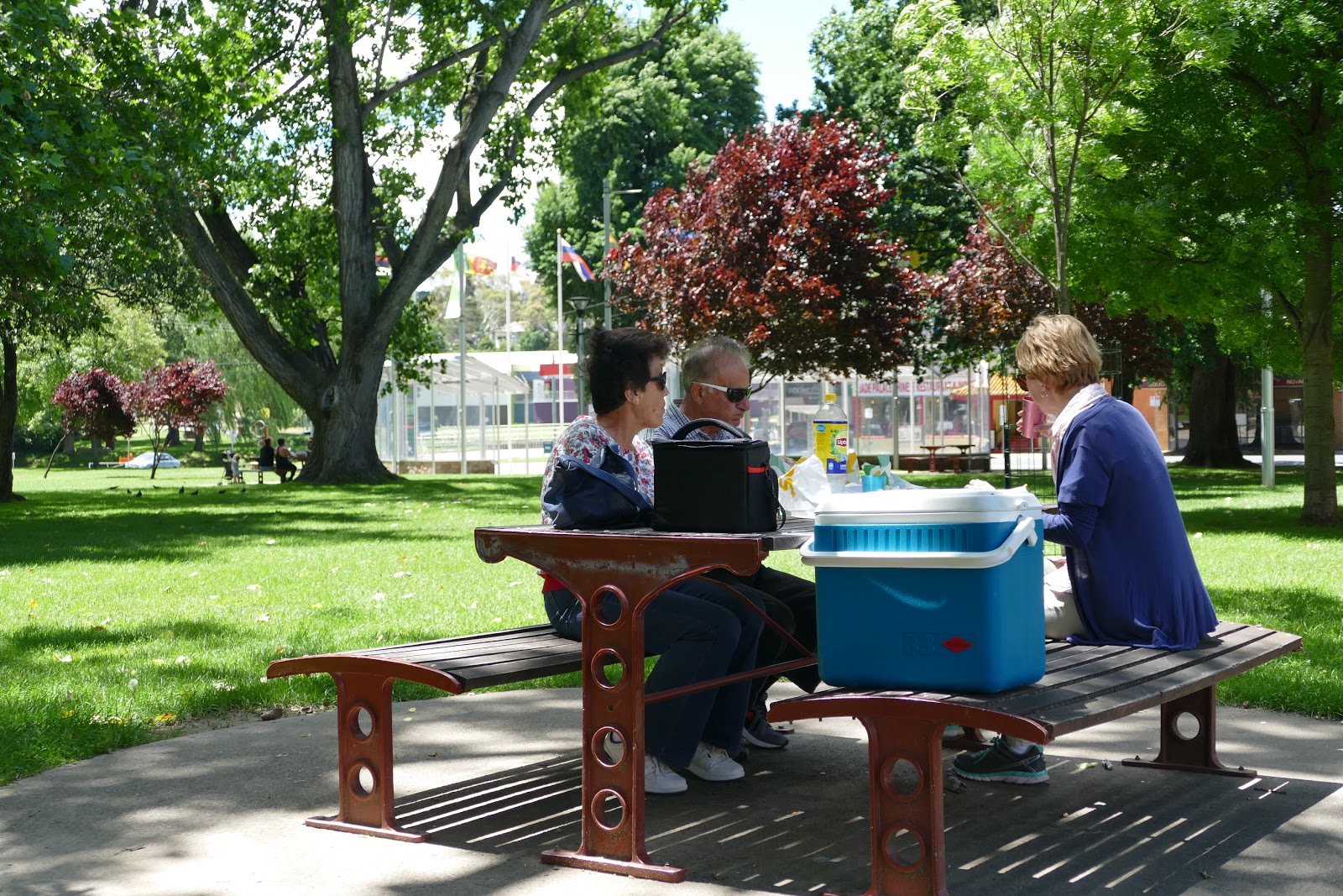
This statue in commemoration of Banjo Patterson, a famous Australian Poet.

A local Magpie comes over to say Hi.

Heading out from Cooma, we stop at a lookout over the town.

Peek a boo.

The view over Cooma.


My two favourite girls.

Mum stealing a hug.


We make it to Lake Jindabyne in the afternoon, in time for a stroll around the lake. This is the Banjo Patterson Inn, where we spent two nights.

The Inn is just a short stroll across the road from the lake.


So we unpack and set off on a walk.


This odd park bench makes for a good photo of Mum and Dad.

Lake Jindayne is man made so these are what remains of the trees that once grew in the area. The island in the background, once a hill.


Cathy leading the way, unsurprisingly.

Enjoying the scenery.


Day 2: Map (321 km travelled)
The next morning, Cathy and I take an early walk along the lake.

The air was so fresh and clean.

The morning sun made for some more photo ops.


This fisherman enjoying the early morning on the lake with a spot of freshwater fishing.


After breakfast, we head off for a drive, taking in the Snowy Mountains in summer.

This moss grows on anything that stays still long enough.


This old tree lays below the road. The stories it could tell.

We have stopped here on the bike and with good reason.

It's so quiet through this section of the national park and the air so clean and fresh..


The road winds through here, making it so good for motorcycles.

There are several picturesque places to stop along the drive but this is one of our favourites.

Nothing but nature and the sound of this crystal clear stream.


This is also a camping area, complete with a BBQ to use.

Continuing on, we pull into another camping area that we have never visited before. This was a great decision as it was full of wild life to see. It all began with these emus, unexpected in this area.


This is the track in to the area.

It wasn't long before we came across a large mob of roos.

This male was huge.

There were several females with joeys in their pouch. So nice to see.


A little further on, we come across another pretty rest area.

And another lovely mountain stream.


It doesn't look like this picnic table gets much use. There's that moss again.

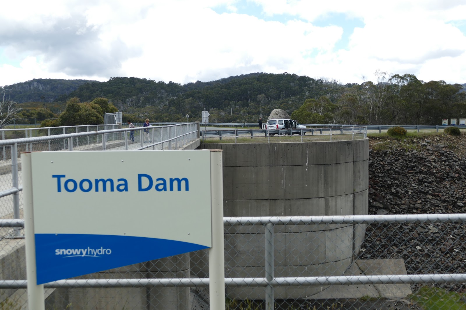
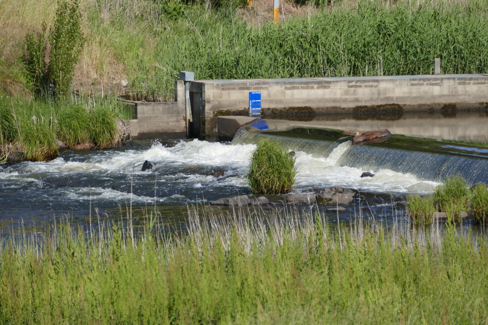
The Snowy Mountains is the site for the Snowy Mountains Hydro Scheme, a huge engineering feat creating electricity from a series of lakes and dams across the region.

Those pipes are huge, all carrying large volumes of water from one dam to another.


Our next stop was Tooma Dam. Another part of the scheme.


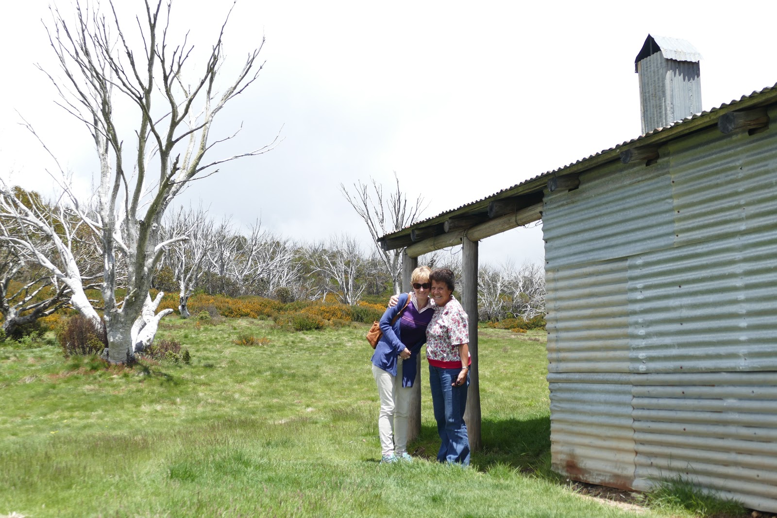
Heading north to Cabramurra, we stop for a closer look at this storm shelter.

In the middle of nowhere, it serves it's purpose in storms and rough weather.

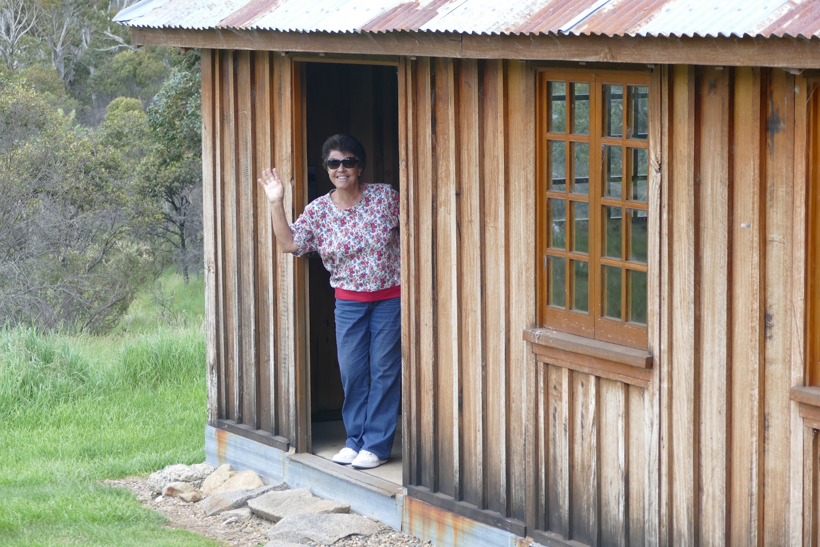
Inside, we find a large fire place which would be handy through winter.


Out the back, you can see just how away from it all this shelter is.
Meanwhile , Dad does his bit for the community and sweeps the hut out. Anything for a pic, I say.

Before joining the highway back toward Lake Jindabine, we pass New Chum Hill. The story behind it's namesake is quite amusing.


That's a huge rock crusher used to expose the gold from the quartz.


As well as being a place of interest, this is also a nice spot for a break.


This large cylinder used to roll round while water washed through it, helping to sort any gold from the soil.

The road winding up to the highway.

This rest house is great to stop for lunch or a break in cold or less than favourable weather.

As you can see, it's more modern and very clean inside.

Mum signs the visitor's book.
Also set in a picturesque part of the area.

Here we take a short break in Adaminaby.

And it's famous giant trout.


The local pub is good for a cool drink and a counter lunch.

Approaching Berridale, just outside Jindabyne, we spot this echidna crossing the road

Day 3: Map (384 km travelled)
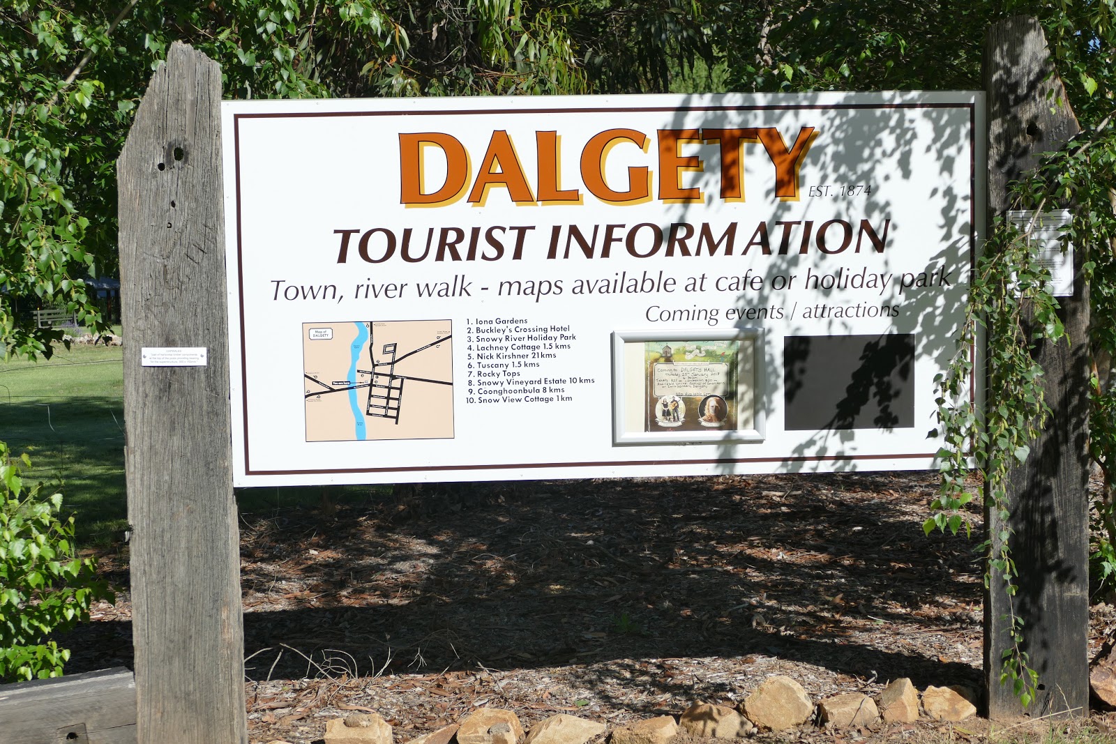
Today we made our way to the lovely south coast of NSW, via the towns of Dalgety and Bemboka.
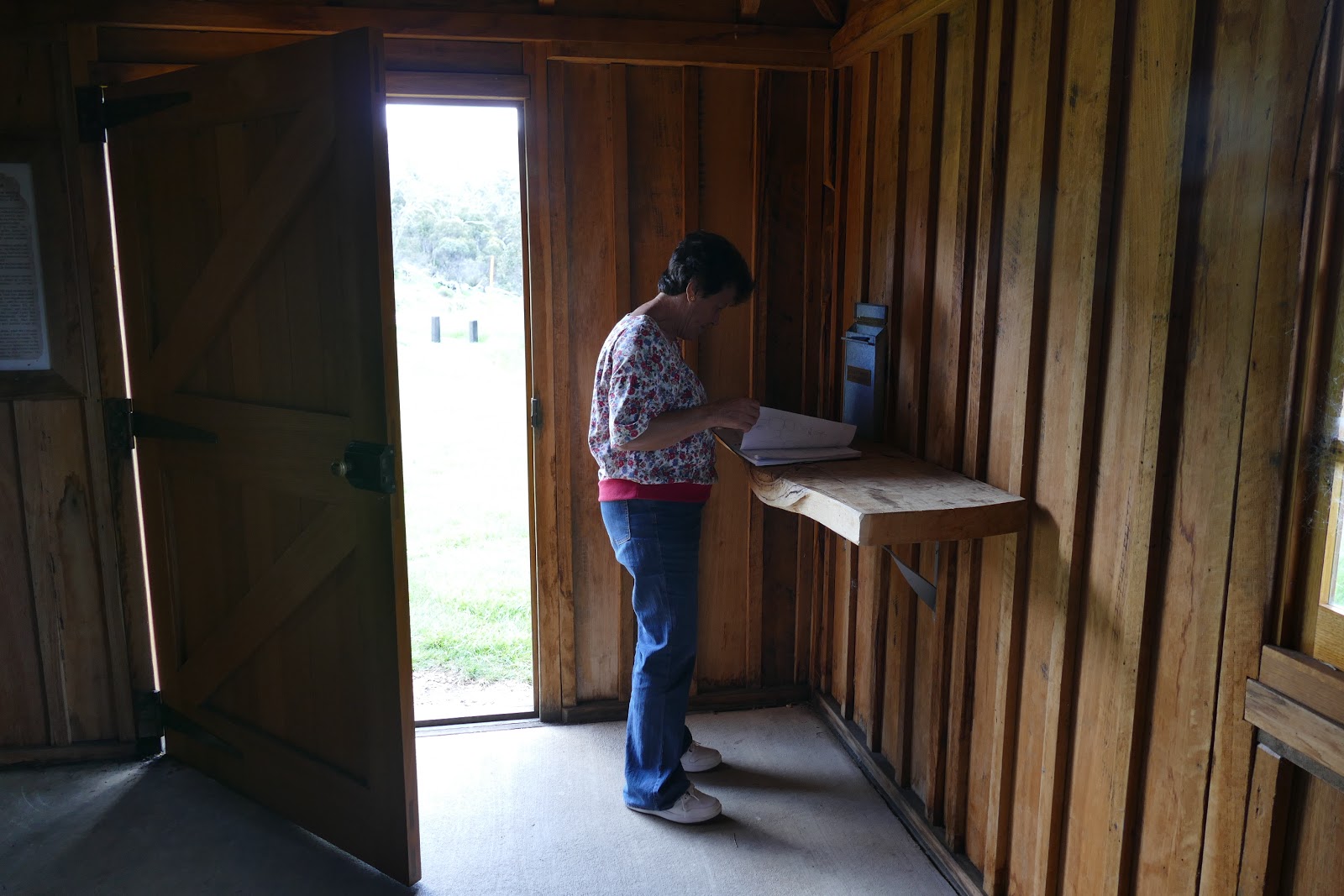
This bridge at Dalgety, crosses over the Snowy River.


Mum and Cath reading up on the area.

Meanwhile I stroll off to capture some pics.

The water was like glass, which made for some stunning reflections on the river.

As with all country towns, Dalgety has the Buckley's Crossing Hotel.

Road sign in the town.

Heading closer to the coast, we come across a huge wind farm.

This map gives you an idea of it's size.


Driving through Brown's Mountain to descend to the coast, we take a look at this lookout.


The forest seemed almost sub tropical at the top.
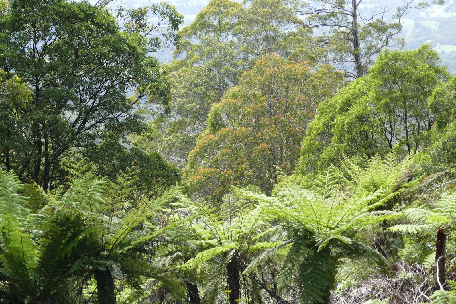
The road snaking down the mountain.

Our first stop along the coast is the Tathra wharf.

Over 150 years old.


The wharf is also popular among fisherman in the area, as it sits in deep water.


Those old timber piers still holding strong.

The local cormorants drying out after their fishing.


While these two watched on.


Our next stop was the picture perfect Narooma with it's beautiful turquoise inlet.


Here you can clearly see the man made rock walls which help to keep the inlet clear.


Down near the boat ramp, these two fishermen were cleaning their catch while the gulls and pelicans looked on for a quick feed.


Mum looked interested too and loving the weather.


Time to wash the catch out in the water.


Because I can.


Cathy and I actually went on this island charter, on a Montague Island and whale watching tour. A must see if you haven't been.


Leaving Narooma, we approach Bateman's Bay and it's bridge.

On the other side of the bridge is the inlet and the wharf.


Finally we make it to Lake Tabourie to visit Mum's cousin Mary and her husband Ned. Always good company and a great place to have a birthday BBQ for Mum.

These lorrikeets are waiting to be fed. A daily occurrence at Aunty Mary's.


Dad gets in on the action.

We start the BBQ with some prawns wrapped in bacon.

Always good to catch up.


Mary has a lovely garden which she is very proud of.

Day 4: Map (220 km travelled)


After spending the night at Mary and Ned's, Cath and I take a morning walk on the beach, just over the sand dune from their house.


The beach here is perfect.


Lucky Cathy left her footsteps behind for me to follow.

Here she comes.

The cleanliness of the water on the beaches is why we love the south coast so much.

Another walk over the dunes, takes us back to Mary and Ned's.

One last pic of the girls before we leave.

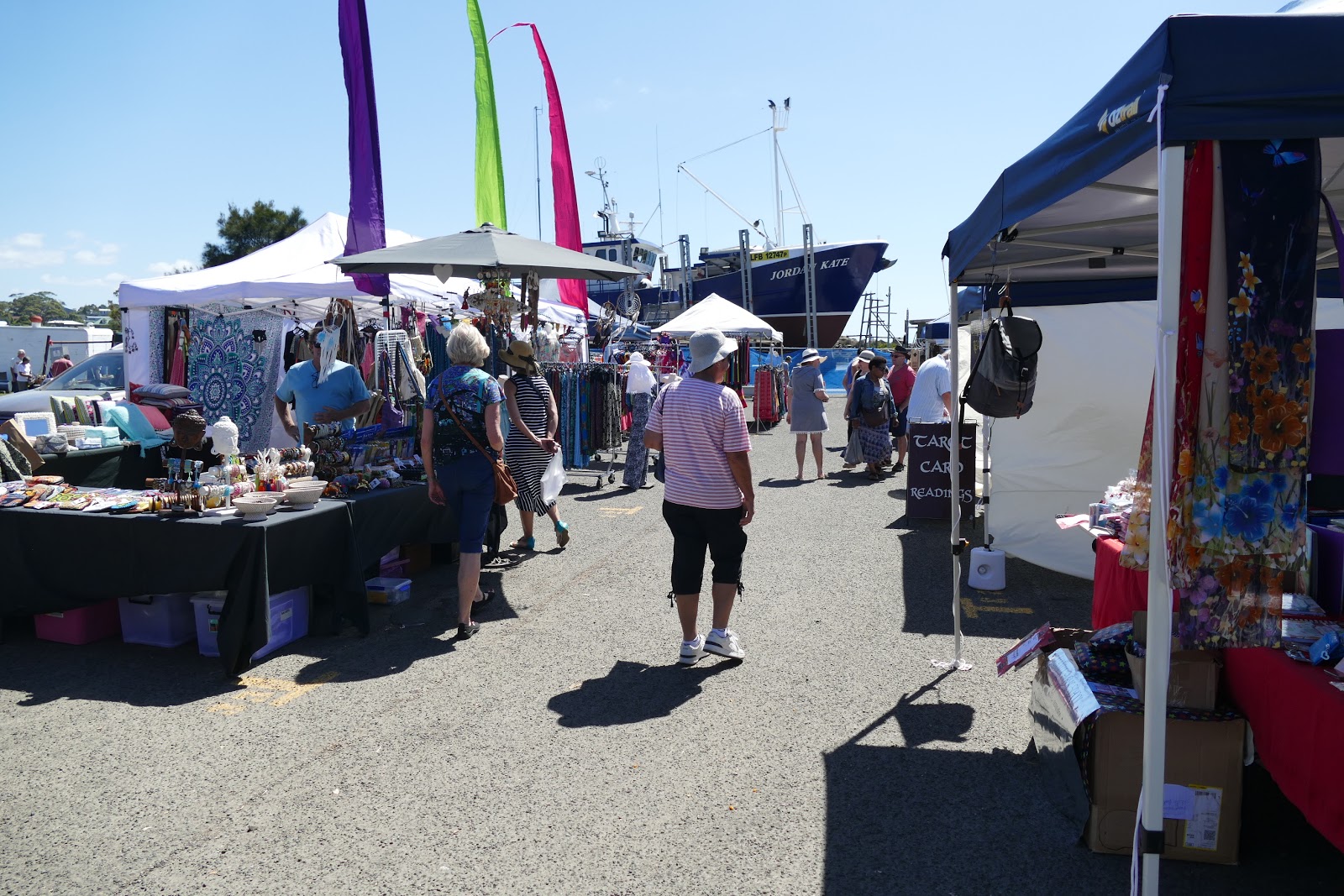
One last stop at Ulladulla to browse the harbour markets before we head home.

This area will be our new home in the not too distant future.


The view of the harbour from the main road with a lovely garbage bin in the foreground.

All in all we had a great trip and it was great sharing it with my parents, showing them what we get up to on our trips away on the bike.